Rob van der Teen
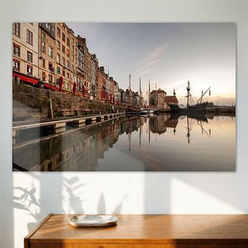
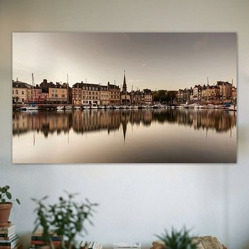
Normandy
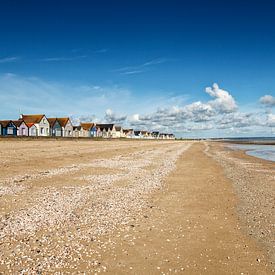
Since 1956, Normandy has been divided into two administrative regions: Lower Normandy and Upper Normandy; the regions will be merged into one single region effective 1 January 2016. The continental territory covers 30,627 km² (11825 sq mi)[2] and forms the preponderant part of Normandy and roughly 5% of the territory of France. The population of Normandy is around 3.45 million. The continental population of 3.26 million accounts for 5.5% of the population of France (in 2005). The Channel Islands (referred to as Îles Anglo-Normandes in French) are historically part of Normandy, cover 194 km²[3] and comprise two bailiwicks: Guernsey and Jersey, which are British Crown dependencies.